
We drove to Coronado National Monument from Tucson through Fort Huachuca. The Huachuca Mountain range is part of the Coronado National Forest. The Huachuca Mountain area is owned mainly by the USDA Forest Service and the United States Army, Fort Huachuca.
The Coronado National Forest covers 1,780,000 acres of southeastern Arizona and southwestern New Mexico. Elevations range from 3000 feet to 10,720 feet in twelve widely scattered mountain ranges or sky islands.
What is a sky island? A mountain that rises high from the desert floor and has a different ecosystem than the lowlands that surround it. Hence, two dramatically different environments.

You can see the beautiful landscape along the Mexico and Arizona Border at the Coronado National Memorial on the south end of the Huachuca Mountains. This living memorial is composed of over 4,700 acres and commemorates the first major exploration of the American Southwest by Europeans.
There is a visitors center down Coronado Memorial Road about 5 miles from Hwy. 92 with local history and exhibits. It is open everyday except Thanksgiving and Christmas.

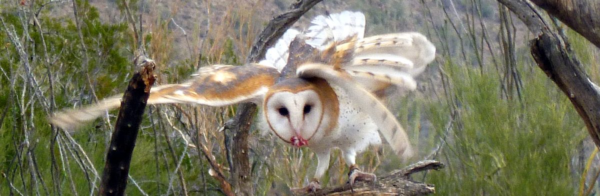
The rangers at the Coronado National Monument visitor’s center were friendly and knowledgeable. For a fun picture be sure to try on the mail armor, conquistador helmet and the sword.
The ranger recommended that we drive up to Montezuma Pass Overlook.

Just passed the visitor’s center is Montezuma Peak at 7,676 elevation. Montezuma Peak is the most prominent peak at Coronado National Memorial area.
The road up to Montezuma Pass Overlook turns to an unpaved, rough dirt road. There are several switchbacks as it winds up the mountain. A bit scary on some of the turns but well worth the drive as the views are spectacular from the Overlook.


The Yaqui Ridge Trail down to the Arizona – Mexican border is a nice little side trip that is all downhill.

There are picnic tables and restrooms at the Montezuma Pass Overlook. This is also where you will pickup the trail to Coronado Peak.
Coronado National Memorial was named in honor of Spanish conquistador Francisco Vásquez de Coronado. In 1939 the House Committee on Foreign Affairs stated, “this was one of the greatest land expeditions the world has known, a new civilization was established in the great American Southwest.”

Coronado Peak Trail starts at the Overlook. This short hiking trail climbs from 6,575 to 6,864 feet in elevation, and culminates in panoramic views from Coronado Peak.


The photo above is a perfect view of Miller Peak, elevation 9,466 ft., in the Coronado National Memorial. Trails climb from all sides of the range to Miller Peak Wilderness in the Huachuca Mountains.

Driving down Montezuma Canyon Road, we took a picture of a healthy Century Plant Agave, some say agave cactus.
Planning a trip to Coronado National Monument in southern Arizona? Here is the link to the Visitor’s Center http://www.nps.gov/coro/planyourvisit/visitorcenters.htm
